
OpenStreetMap's Lake Monitoring Initiative Enhancing Flood Resilience in Indonesia
Harnessing Community Engagement and Technology for Sustainable Water Management
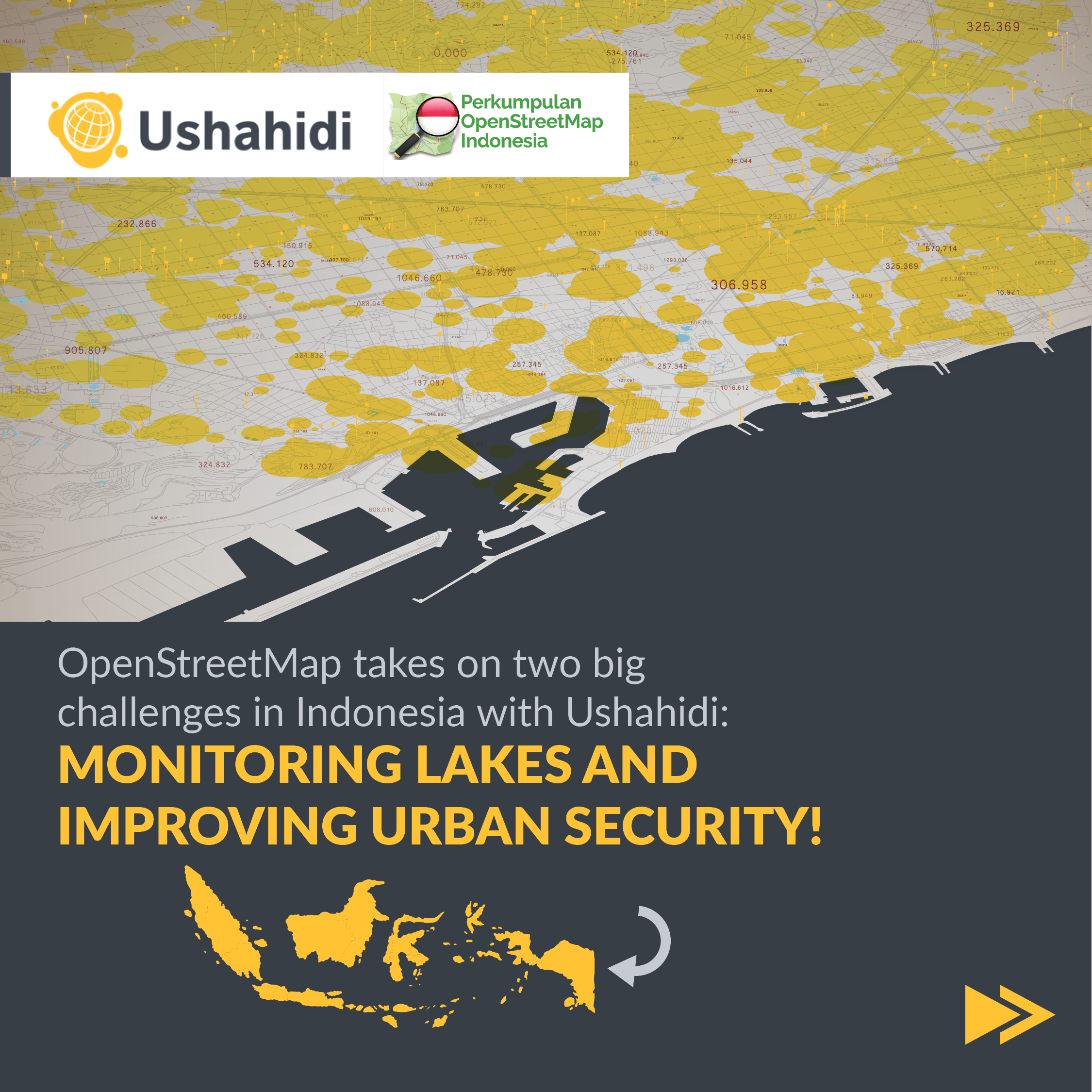
In Indonesia, OpenStreetMap (OSM) undertook a critical initiative to monitor and map lakes, with a specific focus on improving flood resilience and urban security in Bandung. Through the engagement of volunteers equipped with the Ushahidi mobile app, OSM successfully mapped lakes and collected urban security data, demonstrating the power of community-driven efforts combined with technology.
In Indonesia, where the risk of natural disasters is significant, OpenStreetMap (OSM) embarked on a transformative project to monitor and map over 200 lakes across the country. This initiative was aimed at improving flood resilience and enhancing urban security, with a specific focus on the city of Bandung.

The Challenge
Indonesia's abundant lakes play a critical role in water management and flood prevention. However, the impact of climate change and rapid urbanization has heightened the need to monitor these water bodies closely. OpenStreetMap recognized the importance of harnessing community engagement and technology to address this pressing challenge.
Approach and Methodology
OpenStreetMap mobilized a team of over 30 dedicated volunteers who mapped and monitored more than 170 lakes nationwide. This initiative involved training volunteers in the use of the Ushahidi mobile app, enabling them to collect and share real-time data efficiently. The project's success relied on the synergy between community involvement and innovative technology.
Bandung Urban Security Project
Beyond lake monitoring, OpenStreetMap's efforts extended to urban security in Bandung. Twenty volunteers were trained in just three hours to use the Ushahidi app effectively. Within five days, they collected 263 data points related to urban security, highlighting the rapid impact of community-driven data collection facilitated by technology.


Results and Impact

The project's success garnered attention from Indonesian government agencies, leading to plans for expanded data collection on street safety in 2023. The adoption of the Ushahidi platform for urban farming initiatives underscores its versatility and effectiveness in advancing humanitarian goals and supporting good governance.
OpenStreetMap's lake monitoring initiative exemplifies the potential of grassroots efforts combined with technology to address complex environmental and urban challenges. By empowering volunteers with the tools and knowledge needed to gather and utilize data effectively, OSM is contributing to the resilience and sustainability of communities in Indonesia. This case study underscores the transformative impact of leveraging community engagement and innovative technology for disaster preparedness and urban development.
200
Lakes spread across Indonesia
170
Number of lakes mapped
263
Data points collected on urban security
30
Volunteers engaged
3
Number of hours it took to onboard volunteers to Ushahidi's mobile app
Published Evidence
- Deployment on monitoring lakes
Ushahidi Platform