Situational Report - Nairobi Floods

Mar 19, 2026
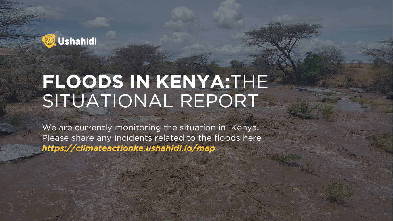
On the morning of 7 March 2026, residents of Mathare, Eastleigh, Mukuru Kwa Reuben, and several other Nairobi neighborhoods woke to streets that had become rivers overnight. Intense rainfall caused the Nairobi River and other waterways to burst their banks, sending floodwater into homes, businesses, and arterial roads across the city. Mombasa Road and Uhuru Highway were rendered impassable. Flights at Jomo Kenyatta International Airport were disrupted, while some people died from drowning and electrocution.
 Source: Reuters
As of mid-March 2026, at least 71 people have lost their lives nationwide, with Nairobi accounting for approximately 36 of those deaths. Over 147,000 people have been affected or displaced, and more than 12,000 households have sustained direct impact. Flooding has spread to Kisumu, Nakuru, Kiambu, Kajiado, Migori, Kwale, and other counties. Multi-agency rescue teams, including military support, have been deployed alongside the Kenya Red Cross and other humanitarian organizations.
The Flood-prone Neighbourhoods
The areas sustaining the heaviest impact this March — Mathare, Kibera, Korogocho, Eastleigh, Mukuru Kwa Reuben, Dandora, Kariobangi, Kayole — are the same areas that appeared in flood response reports during the 2024 El Niño season, and the seasons before that, going back to the catastrophic floods of 1997–98. Climate change is a real and accelerating factor in the increasing intensity of these events. But the specific communities that flood in Nairobi each year do not flood primarily because of rainfall patterns. They flood because of a longer history of decisions about where formal housing was built and for whom, how drainage infrastructure was designed and maintained, and which neighborhoods received sustained investment in flood protection and which did not.
In May 2024, UNOSAT satellite imagery captured approximately 22 square kilometres of inundated land across Nairobi and Machakos County, 4,246 affected structures, and 94 kilometres of damaged roads from a single flood event. A parallel analysis of Nairobi and Kiambu identified around 10,000 people potentially exposed to flooded areas, with 3,663 affected structures. The same river corridors and neighborhood clusters appearing in those analyses are appearing again now. What the satellite cannot show is the layered history of planning decisions that made those structures flood-vulnerable, or the budget choices that have left that vulnerability unaddressed across successive flood seasons. Understanding this crisis requires looking at both.
Beyond the Headline Figures
The mixing of floodwaters with sewage, which has been documented in multiple areas this season, creates immediate public health risks. Cholera, typhoid, and waterborne diseases do not typically peak during the flood event itself. They emerge in the weeks that follow, when the water has receded, but contamination remains, and when humanitarian attention has often begun to wind down. Healthcare facilities in affected areas of Nairobi will face elevated demand just when transport disruption and infrastructure damage are complicating access.
The economic impact compounds this. Small and micro-enterprises operating without insurance have sustained losses to machinery, stock, and premises that will take months or years to recover from. For households already at the margins of financial stability, a single flood event can represent the loss of assets built over years. For the thousands of families currently displaced, the question of where to return, and to what, is one that the acute response phase is not designed to answer.
What We Know From Listening to Communities
For several years, Ushahidi has worked with partners across Kenya to collect participatory data on climate vulnerability. This includes two phases of climate action work in Tana River County and a climate resilience project in Siaya County's Ugunja Sub-County.
In Tana River, over 4,000 residents described a compound crisis in which prolonged droughts and seasonal flooding are not separate events but a single, intensifying cycle — each destroying the resources communities need to recover from the other. Secondary health impacts, including cholera outbreaks and rising malnutrition rates in children, emerged consistently across the data on a timeline that outlasts media and humanitarian attention. Residents were not only describing their situation. They were proposing specific solutions: boreholes, flood-resistant bridges, early warning systems in local languages, and community rescue teams positioned before the crisis rather than assembled during it. In one instance, the process surfaced a local tax ordinance that was inadvertently penalizing environmental stewardship over charcoal production. It was tabled in the county assembly and amended.
In Siaya, the Distant Voices methodology reached 103,619 voices through a combination of social listening and in-person interviews conducted in Swahili, Dholuo, and English. The findings — unpredictable rainfall, frequent flooding, failing water sources, disrupted livelihoods, and climate-driven mental health strain — were presented at validation sessions attended by community members and local officials. Sub-county representatives committed to integrating the data into the Ugunja Integrated Development Plan and the Siaya County Climate Change Action Plan. Officials acknowledged that the methodology had captured lived experiences that conventional surveys miss entirely.
Both projects point to the same conclusion: the gap in Kenya's climate response is not in community knowledge. It is in the systems that allow that knowledge to reach the decisions where it would matter.
The Coordination Question
During any significant flood event in Nairobi, a large number of organizations are simultaneously active in the same neighborhoods. These include government agencies, international NGOs, local civil society, community-based groups, and informal volunteer networks. Each produces its own assessments, maintains its own records, and holds its own partial view of the crisis. Some needs are addressed multiple times while others go unmet. The aggregate intelligence of an entire response system remains inaccessible to any of its parts, and the data gathered during one crisis does not accumulate into knowledge that shapes the response to the next.
The technology to address this is neither new nor experimental. Shared mapping platforms have been demonstrated to work in flood responses across multiple contexts. The barrier is the decision by responding organizations to contribute their data to a common system, and the institutional commitment to maintain that system between crises rather than building it again from scratch each time the water rises.
An Invitation to Organizations Currently Responding
We are actively monitoring the 2026 Kenya floods through an open situational deployment. Organizations conducting field assessments, distributing aid, or coordinating response are invited to map their incident reports and observations on the shared platform. When multiple organizations contribute to the same deployment, the combined picture exceeds what any single organization can produce — a real-time, multi-source view of where needs are concentrated, where resources are reaching, and where the gaps are.
Community members, frontline volunteers, and anyone with direct knowledge of conditions on the ground can submit reports at climateactionke.ushahidi.io/map. Every report contributes to a more complete situational picture and to a record that will inform preparedness work beyond this season.
What Comes Next
The immediate priority is the response already underway. But the longer question, and one that will determine whether this conversation repeats in 2027 and 2028, is about what happens when this crisis recedes from the headlines.
- Whether the infrastructure that communities in Tana River and other flood-affected counties have already specified is funded in the next budget cycle.
- Whether the policy environment is examined for the contradictions that compound vulnerability.
- Whether the data collected this season is connected to the data from previous seasons, rather than filed and forgotten.
- Whether the organizations that responded this year are sharing a common platform the next time the rains arrive.
The communities in the Ministry of Interior's flood-prone areas map know what they need. They have said so, specifically and repeatedly, through every channel that has been made available to them. The work that remains is building the systems that ensure the response does not begin from zero each time the Nairobi River rises.